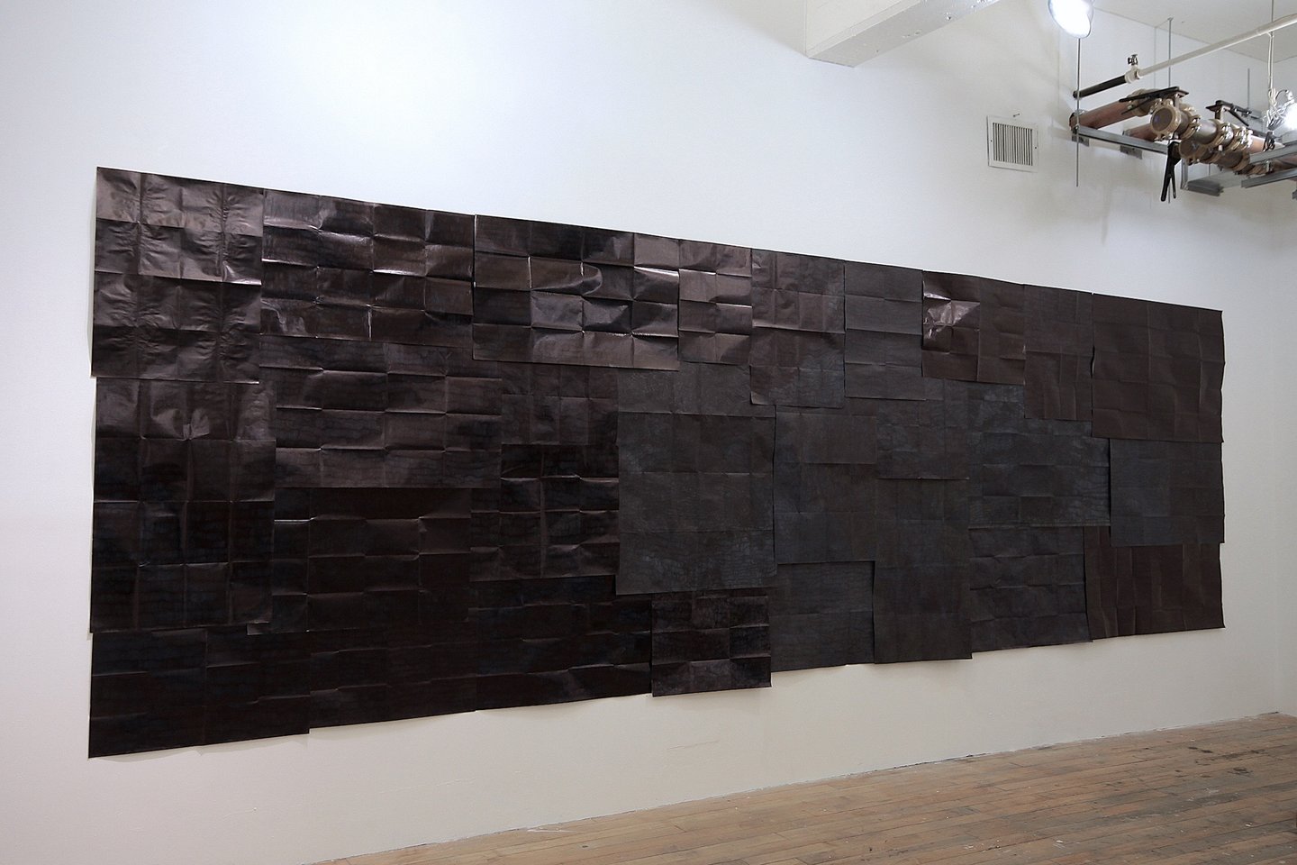
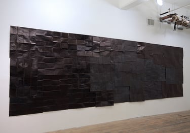
permanently marked, 2018, 76x220 inches, National geographic world maps from 1940 to 2010, black permanent markers.
permanently marked presents a wall as a dense, impenetrable void. From a distance, it is an opaque silence; at close range, it reveals a palimpsest of cartographic traces. Layered under thick ink are maps printed between 1940 and 2010—a period of violent border reconfigurations. Here, the act of covering becomes a preservation of erasure, recording the very history it obscures. Cartography is an instrument of power, and here, the "permanent marker" takes that claim to a terminal extreme. The maps are not erased; they are marked to death. By saturating the surface to the point of blindness, the work reflects how war and ideology reshape geography through the accumulation of force. Visibility becomes conditional. Distance offers only an unyielding surface, while proximity offers fragments of dissolved borders and renamed territories.